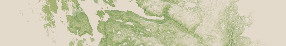
As with previous Landsat mosaics i also produced a vegetation map for Greenland matching the image mosaic introduced recently.

The map shows vegetation cover with a spatial resolution of 30m and distinguishes between woody and herbaceous vegetation although woody in Greenland rarely means full grown trees. And calibration of the algorithms used is not specifically adjusted to the Greenland setting so quantities could be off quite a bit. The overall vegetation fraction should be reasonably reliable though.
Here a few rendering examples from the southwest at various scales:


