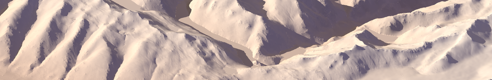
Earlier this year i showed some examples how shading information in satellite images can be used to improve elevation data with additional details. Since then i have occasionally been looking into how such techniques can be also used outside polar regions and how OpenStreetMap data can be used as additional hints for relief detail.
I have now put together some results of two sample areas in the Alps and on the Canary Islands. Originally the use of waterways for this purpose strongly relied on the waterflow network structure being known and well represented by the data – a condition generally not fulfilled in OpenStreetMap, a problem i also struggled with elsewhere. I tried using the rivers and streams without relying on overall structural information now and it seems this works quite well, at least if there are no larger errors in the data. Still any gaps and omissions in the waterbody data severely limit the impovements that can be made to the relief data of course.
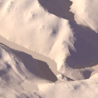
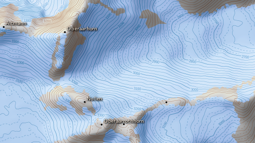
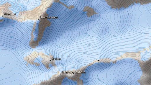
Here a before-after comparison from the Alps (for a larger image see the full description):
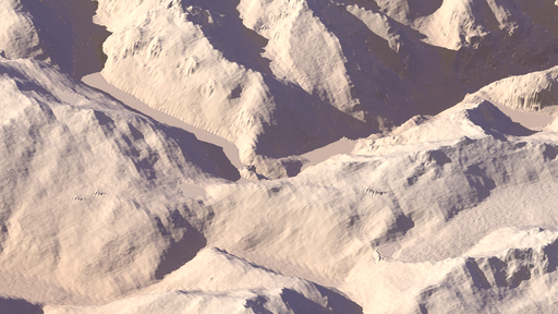
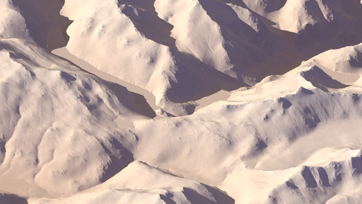
And similarly for a contour line rendering:
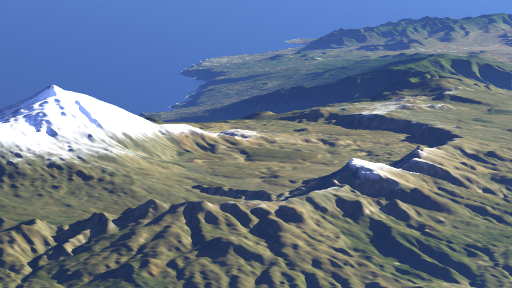
And here a 3d view of Tenerife, Canary Islands using the improved data:

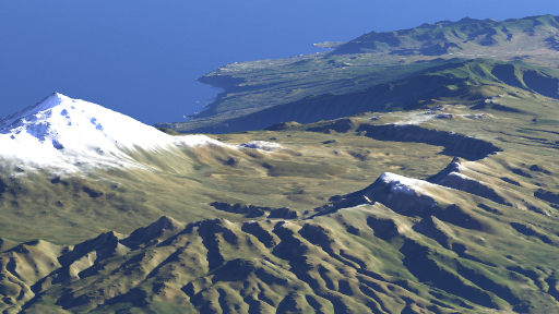
and a magnified crop with comparison to SRTM data:
More details on this can be found in the full description.