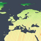
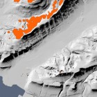
Some news on open data satellite images: I updated the satellite image coverage visualizations. Here is the matching coverage volume plot over time: There are several important things you can see in that: With Landsat 8 the USGS has for … Continue reading
February 23, 2018
by chris
0 comments