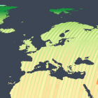
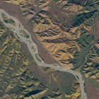
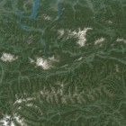
Today ten years ago the USGS started opening the full Landsat image archive as open data. Although this was not the first release of satellite imagery as open data – a selection of Landsat images was already opened before and … Continue reading
April 20, 2018
by chris
0 comments